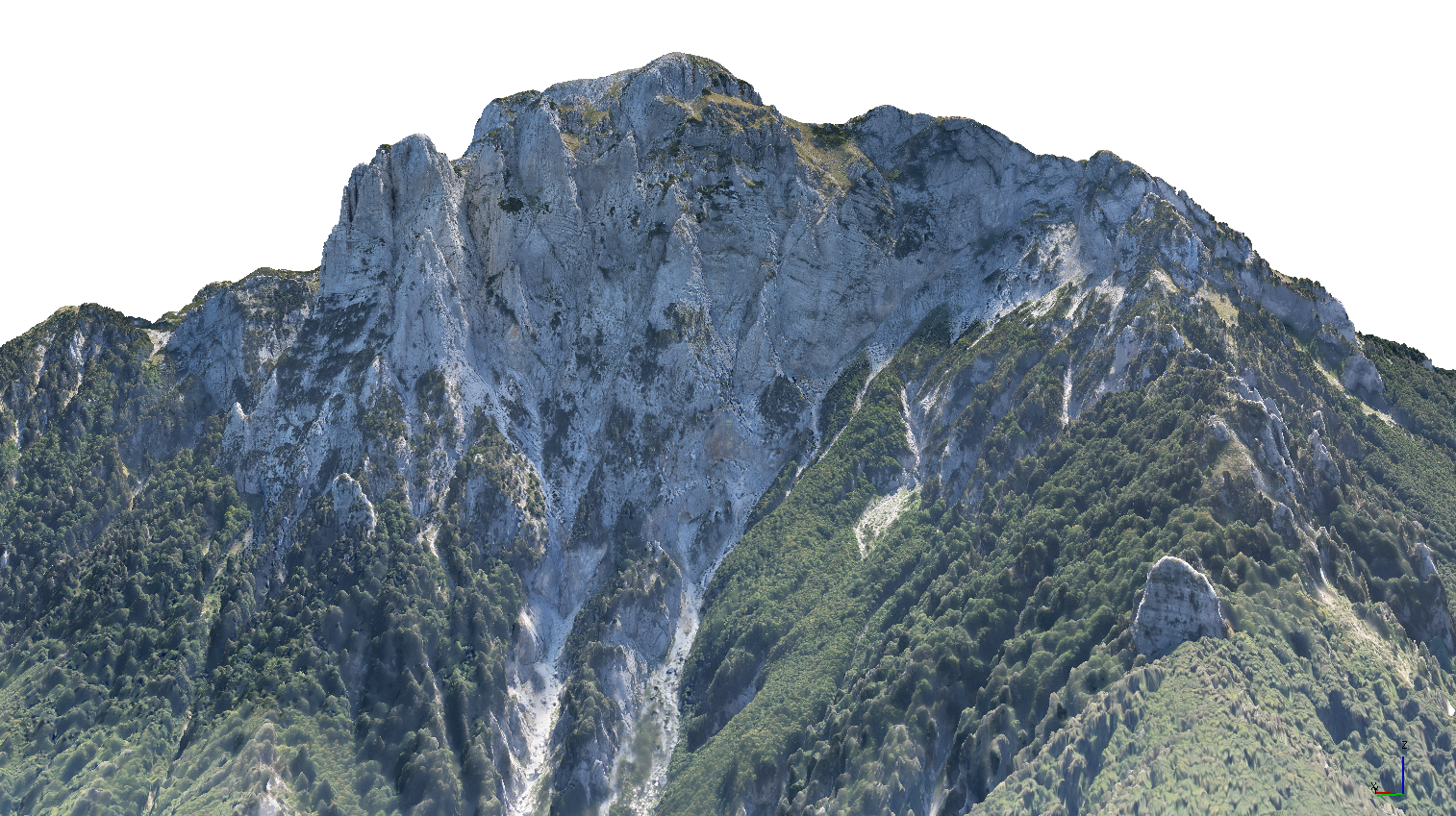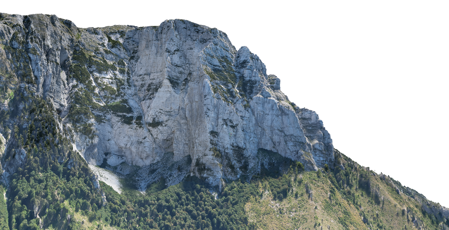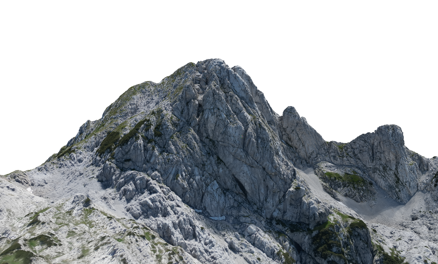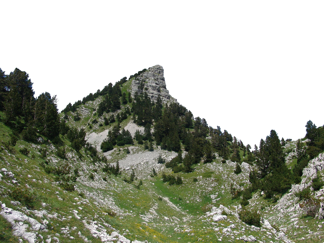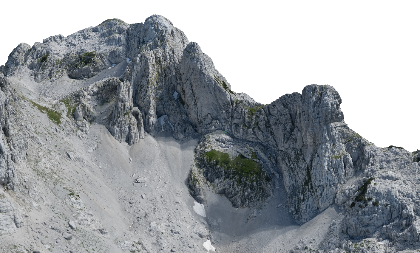

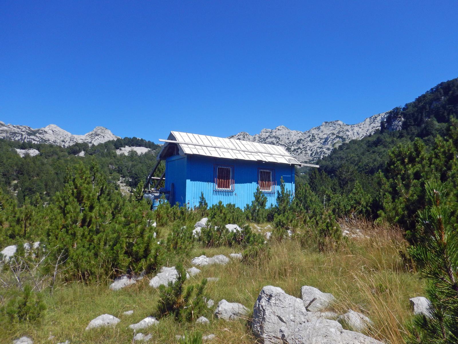
Container Poljice is an open mountain shelter located in Donje Poljice, in the inner part of Prenj. It stands in a remote valley surrounded by Ovča, Lupoglav, Vjetrena Brda, Kapljuč, and Botini, and serves as an important base for multi-day hikes and ascents in this part of the mountain. The shelter was placed by HGSS Mostar and is equipped with basic sleeping space and a wood stove. It can accommodate around 6-8 hikers. Drinking water is not reliably available at the shelter, so water should be planned in advance; nearby sources such as Cmiljevac / Cmiljkac or a cistern may be used depending on conditions. The most common approach is from Ravni, taking about five hours on foot, while another route connects it with the container shelter below Vršine.
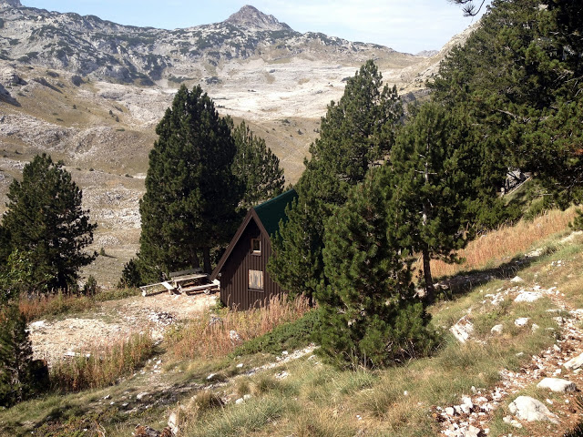
The Vrutak mountain hut is located on Prenj, in the upper part of the Tisovica valley, below the Otiš and Zelena Glava massif. It is an important base for routes through Tisovica and toward central Prenj, especially for ascents of Zelena Glava, Otiš, Lupoglav, Velika Kapa, and other peaks in this part of the mountain.
The hut can accommodate about 10 hikers. Nearby are the Vrutak and Lončić springs, but they may dry up in periods of drought, so water should be planned in advance. In hiking descriptions, the hut is often associated with PD Borašnica from Konjic, and it is advisable to check access and overnight conditions before visiting.
Vrutak is a useful base for multi-day hikes on Prenj, especially when approaching from the Idbar - Tisovica direction or when traversing between Jezerce, Tisovica, Rapti, and the ridges leading toward Prenj’s highest peaks.

Lorem ipsum dolor sit amet consectetur adipiscing elit. Quisque faucibus ex sapien vitae pellentesque sem placerat. In id cursus mi pretium tellus duis convallis. Tempus leo eu aenean sed diam urna tempor. Pulvinar vivamus fringilla lacus nec metus bibendum egestas. Iaculis massa nisl malesuada lacinia integer nunc posuere. Ut hendrerit semper vel class aptent taciti sociosqu. Ad litora torquent per conubia nostra inceptos himenaeos.
Lorem ipsum dolor sit amet consectetur adipiscing elit. Quisque faucibus ex sapien vitae pellentesque sem placerat. In id cursus mi pretium tellus duis convallis. Tempus leo eu aenean sed diam urna tempor. Pulvinar vivamus fringilla lacus nec metus bibendum egestas. Iaculis massa nisl malesuada lacinia integer nunc posuere. Ut hendrerit semper vel class aptent taciti sociosqu. Ad litora torquent per conubia nostra inceptos himenaeos.